There are hundreds upon hundreds of online maps; hell, Google Maps has online maps for the whole world. Every street is at your fingertips. For my Interactive Map project, I’m going to need to create my own map of Kingston, so it is a good idea to look at some examples of maps for inspiration and to see what I’m getting myself into. Here are but a few of the thousands of maps online.
Here is a screenshot I took of the Kingston Google Maps. These winding roads and streets are what I’m going to be drawing, so I’d better get used to staring at these lines.
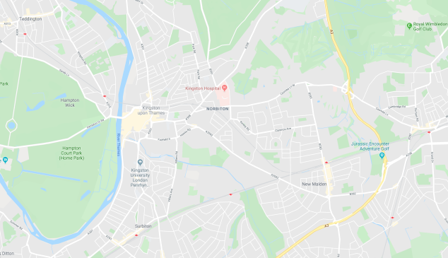
Google Maps use blue for rivers, green for parks, grey for buildings, white for roads and streets, and yellow for motorways.
But there are other kinds of online maps. Multi-story shopping centres also use maps. They can be commonly found on kiosks in real life so that shoppers know where they are going and how to get to each shop. They also typically have a list of all of the shops that the shopping centre contains. Here is a screenshot I took of the first-floor map of the Kingston Bental Shopping Centre.

The designers have obviously gone for a different, more slick colour scheme here. Everything is either white or different shades of grey. The design is also very minimalist and simplistic. They seemed to want to make the shoppers feel like they’re in a very fancy, modern posh building, to appeal to mature shoppers.
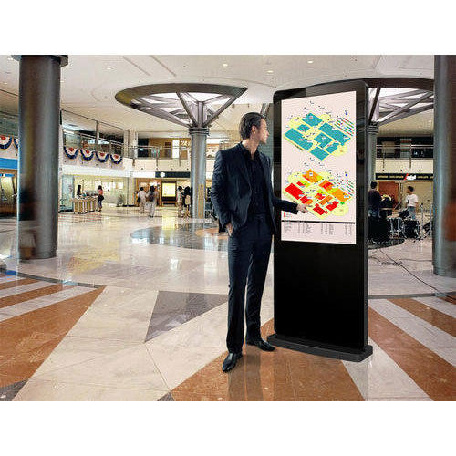
Real-life versions of shopping centre maps are normally displayed on a touch screen, interactive kiosk so that shoppers can browse through the different shops on different floors, which is better than just having a plain, printed out map because they can’t have as much detail. Here is what they typically look like in real life.
But not all maps have this target audience who like different shades of grey in mind when they design their maps. Here’s the map of Lego Land.
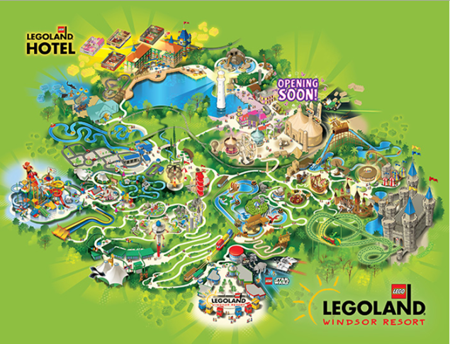
They have used lots of bright, flashy colours to appeal to a young audience who like lots of colours and graphics that almost jump out of the page and has lots of details so that everything looks like an adventure.
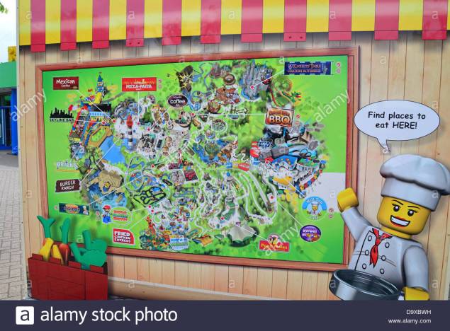
Here theme park maps are typically displayed on a large board in real life.
The only other form of the map you’d typically find out there in the big wide world would be paper leaflets so that people can walk around and follow the map.
Here is a retro leaflet from the 1990s of Thorpe Park.

Probably the most famous map in the world is the London tube maps designed in the 1930s by Harry Beck.

You can also find this tube map in leaflet form. This is the front of the real-life leaflet.

And of course, you can find big printed out versions on any London train station.

So that’s a basic overview of the different types of maps you can find online and in real-life.
